"Smiths Fork Peak"
UT
Elevation: 12,413' (LiDAR)
Rise: 334'
UT Rank: 54
UT Prominence Rank: 3649
Counties: Duchesne & Summit
Quad: Mount Powell
Line Parent: Powell, Mount
Proximate Parent: "East Wilson Peak"
Isolation: 1.18 miles
YDS Class: 2 Suggest Revision
Add ascent
Weather Forecast
Snow Depth
Images:
 jhardink 04-21-2012 | 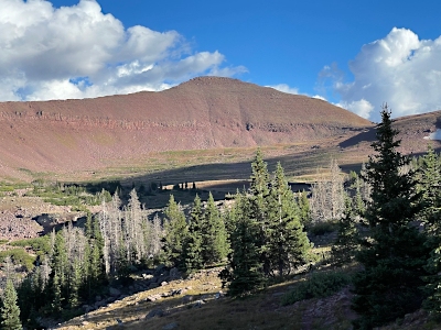 John Kirk 04-15-2024 |  John Kirk 04-15-2024 | 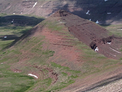 John Kirk 07-12-2018 |
 kirkmallory 07-06-2014 |
Submit another Image
Trip Reports:
Submit a Trip Report
2023-09-16 - John Kirk
2020-08-05 - Furthermore
Links: peakbagger.com
Ascents:
14 members have reported ascents...
log in to view ascents