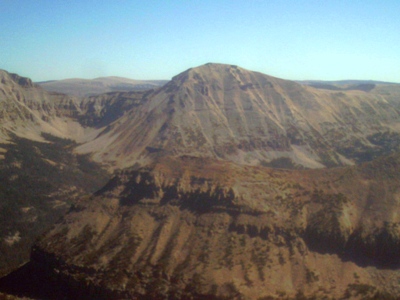
Spread Eagle Peak
UT
Elevation: 12,546' (LiDAR)
Rise: 838'
UT Rank: 45
UT Prominence Rank: 543
Counties: Duchesne & Summit
Quad: Hayden Peak
Line Parent: Ostler Peak
Proximate Parent: Ostler Peak
Isolation: 1.40 miles
YDS Class: 2 Suggest Revision
Add ascent
Weather Forecast
Snow Depth
Images:
 jhardink 04-24-2012 |  John Kirk 03-17-2022 | 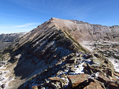 John Kirk 04-06-2020 | 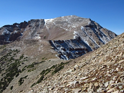 John Kirk 04-06-2020 |
 TWorth 09-29-2010 |
Submit another Image
Trip Reports:
Submit a Trip Report
2019-10-05 - John Kirk
Links: peakbagger.com
Ascents:
15 members have reported ascents...
log in to view ascents