"West Burnt Fork Peak"
UT
Elevation: 12,670' (LiDAR)
Rise: 236'
Counties: Duchesne & Summit
Quad: Fox Lake
Line Parent: South Burro Peak
Proximate Parent: "East Burnt Fork Peak"
Isolation: 0.94 miles
YDS Class: 2 Suggest Revision
Add ascent
Weather Forecast
Snow Depth
Images:
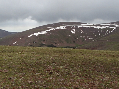 John Kirk 09-24-2019 |
Submit another Image
Trip Reports:
Submit a Trip Report
Links: peakbagger.com
Ascents:
4 members have reported ascents...
log in to view ascents