"North Targhee Peak"
ID, MT
Elevation: 10,435' (LiDAR)
Rise: 682'
ID Rank: 297
ID Prominence Rank: 1341
MT Rank: 252
MT Prominence Rank: 1557
Counties: Fremont & Madison
Quad: Targhee Peak
Line Parent: "Sheep Point"
Proximate Parent: "Sheep Point"
Fremont County Highpoint
Isolation: 1.74 miles
YDS Class: 2 Suggest Revision
Add ascent
Weather Forecast
Snow Depth
Images:
 dinosaur 04-28-2026 | 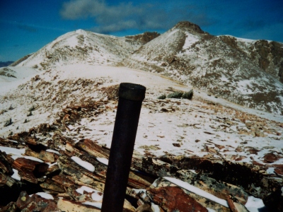 RickBaugher 03-30-2011 | 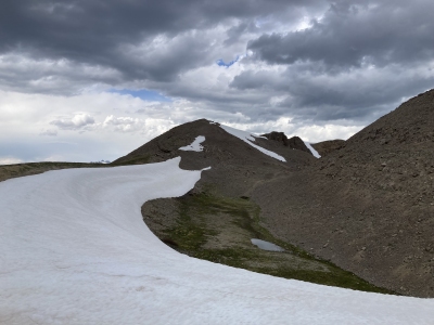 ridgedancer 06-26-2023 |  ridgedancer 06-26-2023 |
 TWorth |
Submit another Image
Trip Reports:
Submit a Trip Report
Links: peakbagger.com
Ascents:
25 members have reported ascents...
log in to view ascents