Sonora Peak
CA
Elevation: 11,463' (LiDAR)
Rise: 1,843'
CA Rank: 588
CA Prominence Rank: 220
Counties: Alpine & Mono
Quad: Sonora Pass
Line Parent: Leavitt Peak
Proximate Parent: Leavitt Peak
Alpine County Highpoint
Carson-Iceberg Wilderness Highpoint
Isolation: 4.76 miles
YDS Class: 2 Suggest Revision
Add ascent
Weather Forecast
Snow Depth
Images:
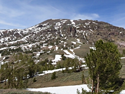 John Kirk 06-21-2014 |  John Kirk 06-21-2014 |  RickBaugher 12-12-2013 |
Submit another Image
Trip Reports:
Submit a Trip Report
2019-07-13 - AJ Kaufmann
2014-05-15 - John Kirk
2002-08-16 - Bob Burd
Links: peakbagger.com
Ascents:
112 members have reported ascents...
log in to view ascents