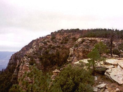
Promontory Butte
AZ
Elevation: 7,940' (LiDAR)
Rise: 169'
Counties: Coconino & Gila
Quad: Promontory Butte
Line Parent: Promontory Benchmark
Proximate Parent: Promontory Benchmark
Gila County Highpoint
Isolation: 2.37 miles
YDS Class: 2 Suggest Revision
Add ascent
Weather Forecast
Snow Depth
Images:
 ScottSurgent |
Submit another Image
Trip Reports:
Submit a Trip Report
2026-06-02 - doug72901
2024-05-04 - John Kirk
2017-08-09 - Nuernberger Josef
1994-05-11 - Desert Mountaineer
Links: peakbagger.com
Ascents:
78 members have reported ascents...
log in to view ascents