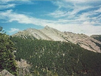
Wilson Peak
MT
Elevation: 10,712' (LiDAR)
Rise: 875'
MT Rank: 152
MT Prominence Rank: 986
County: Gallatin
Quad: Gallatin Peak
Line Parent: Gallatin Peak
Proximate Parent: Gallatin Peak
Gallatin County Highpoint
Isolation: 3.47 miles
YDS Class: 3 Suggest Revision
Add ascent
Weather Forecast
Snow Depth
Images:
 TWorth |
Submit another Image
Trip Reports:
Submit a Trip Report
Links: peakbagger.com
Ascents:
12 members have reported ascents...
log in to view ascents