Swisshelm Mountain
AZ
Elevation: 7,188' (LiDAR)
Rise: 2,030'
AZ Rank: 664
AZ Prominence Rank: 69
County: Cochise
Quad: Swisshelm Mountain
Line Parent: Limestone Mountain
Proximate Parent: Stanford Peak
Isolation: 13.69 miles
YDS Class: 2 Suggest Revision
Add ascent
Weather Forecast
Snow Depth
Images:
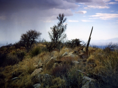 Azb1 02-04-2013 |  ChrisinAZ 03-30-2013 |  John Kirk 01-10-2017 | 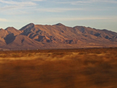 John Kirk 01-10-2017 |
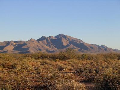 ScottSurgent 01-13-2008 |
Submit another Image
Trip Reports:
Submit a Trip Report
2016-12-26 - John Kirk
2016-06-13 - Nuernberger Josef
Links: peakbagger.com
Ascents:
35 members have reported ascents...
log in to view ascents