Sage Peak
MT
Elevation: 10,656' (LiDAR)
Rise: 2,089'
MT Rank: 167
MT Prominence Rank: 131
County: Gallatin
Quad: Upper Tepee Basin
Line Parent: 10943
Proximate Parent: 10816
Isolation: 9.38 miles
YDS Class: 2 Suggest Revision
Add ascent
Weather Forecast
Snow Depth
Images:
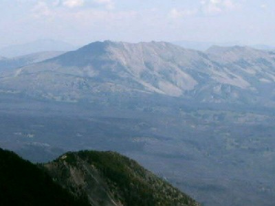 TWorth 08-11-2007 |
Submit another Image
Trip Reports:
Submit a Trip Report
2020-10-10 - Brian Kalet
Links: peakbagger.com
Ascents:
9 members have reported ascents...
log in to view ascents