Granite Peak
MT
MT State Highpoint
Elevation: 12,806' (LiDAR)
Rise: 4,780'
MT Rank: 1
MT Prominence Rank: 5
County: Park
Quad: Granite Peak
Line Parent: Francs Peak
Proximate Parent: Francs Peak
Park County Highpoint
Absaroka-Beartooth Wilderness Highpoint
Isolation: 86.30 miles
YDS Class: 3 Suggest Revision
Add ascent
Weather Forecast
Snow Depth
Images:
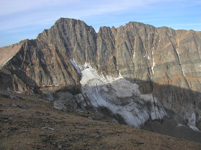 BobBolton 09-16-2008 |  ChrisinAZ 01-21-2013 | 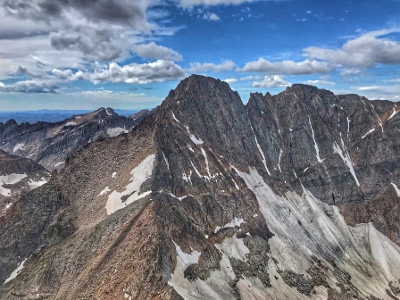 John Kirk 09-24-2019 |  John Kirk 09-24-2019 |
 John Kirk 09-24-2019 | 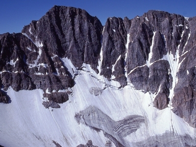 johnvitz 12-09-2014 |  KieranBalazs 08-05-2018 | 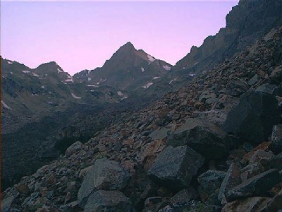 TWorth |
Submit another Image
Trip Reports:
Submit a Trip Report
2019-08-24 - John Kirk
2018-07-22 - KieranBalazs
2015-09-13 - DavePahlas
Links: peakbagger.com
Ascents:
160 members have reported ascents...
log in to view ascents