Blacktail Mountains (HP)
MT
Elevation: 9,474' (LiDAR)
Rise: 2,076'
MT Rank: 707
MT Prominence Rank: 132
County: Beaverhead
Quad: Beech Creek
Line Parent: Antone Peak
Proximate Parent: 9566
Isolation: 20.79 miles
YDS Class: 2 Suggest Revision
Add ascent
Weather Forecast
Snow Depth
Images:
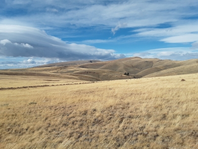 Brian Kalet 10-18-2020 |  Victor Zhou 09-01-2012 |
Submit another Image
Trip Reports:
Submit a Trip Report
2020-10-16 - Brian Kalet
Links: peakbagger.com
Ascents:
10 members have reported ascents...
log in to view ascents