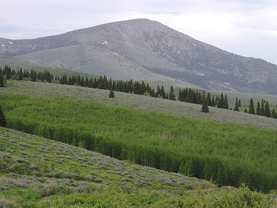
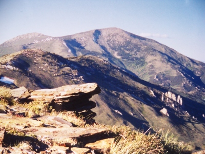
Cache Peak
ID
Alternate Names: Independence Mountain
Elevation: 10,342' (LiDAR)
Rise: 4,496'
ID Rank: 337
ID Prominence Rank: 6
County: Cassia
Quad: Cache Peak
Line Parent: Marys River Peak
Proximate Parent: Pilot Peak
Cassia County Highpoint
Isolation: 83.37 miles
YDS Class: 2 Suggest Revision
Add ascent
Weather Forecast
Snow Depth
Images:
 BobBolton |  John Kirk 01-02-2023 |  John Kirk 01-02-2023 |  RickBaugher 03-15-2013 |
 RickBaugher 07-16-2011 |  ridgedancer 03-25-2025 | 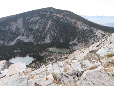 TeresaGergen 09-12-2018 |
Submit another Image
Trip Reports:
Submit a Trip Report
2021-07-17 - Zachary Robbins
2018-09-12 - TeresaGergen
2018-06-09 - DavePahlas
1995-11-11 - RickBaugher
Links: peakbagger.com
Ascents:
103 members have reported ascents...
log in to view ascents