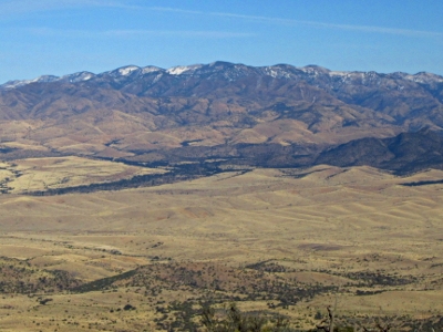
Chiricahua Peak
AZ
Elevation: 9,776' (LiDAR)
Rise: 5,163'
AZ Rank: 25
AZ Prominence Rank: 4
County: Cochise
Quad: Chiricahua Peak
Line Parent: Cerro Rumurachi
Proximate Parent: Heliograph Peak
Cochise County Highpoint
Chiricahua Wilderness Highpoint
Isolation: 64.49 miles
YDS Class: 1 Suggest Revision
Add ascent
Weather Forecast
Snow Depth
Images:
 ChrisinAZ 03-30-2013 | 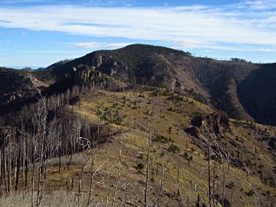 John Kirk 05-22-2018 |  John Kirk 05-22-2018 | 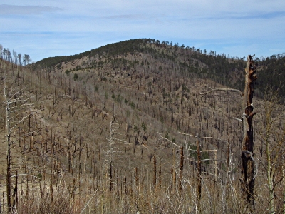 John Kirk 05-22-2018 |
 John Kirk 01-10-2017 |  John Kirk 12-29-2008 |  ridgedancer 03-21-2024 | 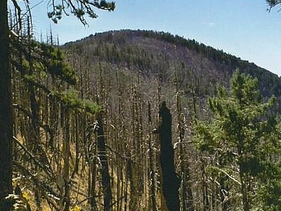 ScottSurgent |
Submit another Image
Trip Reports:
Submit a Trip Report
2021-04-23 - whileyh
2018-03-24 - John Kirk
2016-06-11 - Nuernberger Josef
1986-11-13 - Desert Mountaineer
Links: peakbagger.com
Ascents:
171 members have reported ascents...
log in to view ascents