Kings Peak
UT
UT State Highpoint
Elevation: 13,531' (LiDAR)
Rise: 6,374'
UT Rank: 1
UT Prominence Rank: 1
County: Duchesne
Quad: Kings Peak
Line Parent: Gannett Peak
Proximate Parent: Fremont Peak
Duchesne County Highpoint
High Uintas Wilderness Highpoint
Isolation: 167.02 miles
YDS Class: 2 Suggest Revision
Add ascent
Weather Forecast
Snow Depth
Images:
 Erik Packard 07-28-2020 |  jhardink 04-24-2012 |  John Kirk 07-12-2018 |  John Kirk 07-12-2018 |
 John Kirk 07-12-2018 | 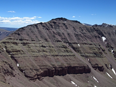 John Kirk 07-12-2018 | 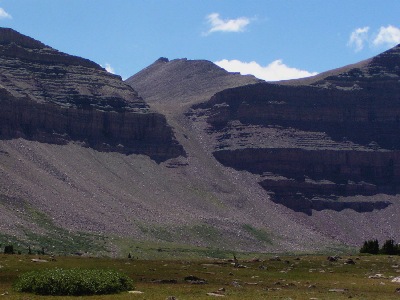 John Kirk 08-09-2007 |  Kiefer Thomas 06-04-2020 |
 KieranBalazs 12-23-2018 |  Paul Klenke 11-12-2010 |
Submit another Image
Trip Reports:
Submit a Trip Report
2021-09-06 - jmbrooks8
2020-08-05 - Furthermore
2018-09-01 - IntrepidXJ
2018-06-30 - John Kirk
2009-08-18 - Beau DiVall
1993-08-04 - Tom Lopez
Links: peakbagger.com
Ascents:
315 members have reported ascents...
log in to view ascents