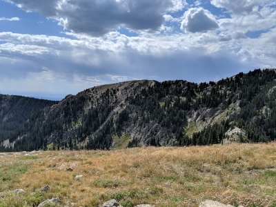
"Deception Peak"
NM
Elevation: 12,341' (LiDAR)
Rise: 45'
County: Santa Fe
Quad: Aspen Basin
Line Parent: Lake Peak
Proximate Parent: Lake Peak
Isolation: 0.21 miles
YDS Class: 2 Suggest Revision
Add ascent
Weather Forecast
Snow Depth
Images:
 Kiefer Thomas 09-03-2019 |  Phil Robinson 08-18-2014 |  Phil Robinson 08-24-2023 |  Phil Robinson 08-18-2014 |
Submit another Image
Trip Reports:
Submit a Trip Report
2023-08-12 - Phil Robinson
2017-11-26 - Alyson Kirk
2017-06-23 - kirkmallory
2014-08-09 - Phil Robinson
2010-08-08 - drdickie
2008-10-10 - Phil Robinson
Links: peakbagger.com
Ascents:
42 members have reported ascents...
log in to view ascents