Taylor Mountain
ID, MT
Alternate Names: GLO Post 10 Benchmark
Elevation: 9,868' (LiDAR)
Rise: 1,895'
ID Rank: 565
ID Prominence Rank: 117
MT Rank: 543
MT Prominence Rank: 170
Counties: Beaverhead & Clark
Quad: Upper Red Rock Lake
Line Parent: Jefferson, Mount
Proximate Parent: Jefferson, Mount
Isolation: 8.76 miles
YDS Class: 2 Suggest Revision
Add ascent
Weather Forecast
Snow Depth
Images:
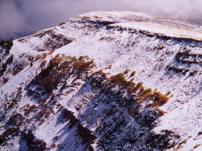 RickBaugher 05-26-2011 | 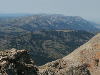 TWorth 08-11-2007 |
Submit another Image
Trip Reports:
Submit a Trip Report
1989-10-07 - RickBaugher
Links: peakbagger.com
Ascents:
6 members have reported ascents...
log in to view ascents