"Ambush Peak"
WY
Elevation: 12,176' (LiDAR)
Rise: 279'
County: Sublette
Quad: Mount Bonneville
Line Parent: "Ambush Peak North"
Proximate Parent: "Ambush Peak North"
Isolation: 0.38 miles
YDS Class: 2+ Suggest Revision
Add ascent
Weather Forecast
Snow Depth
Images:
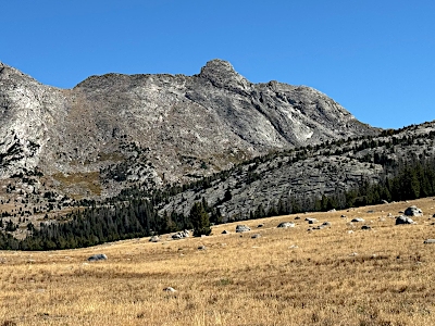 John Kirk 10-02-2024 | 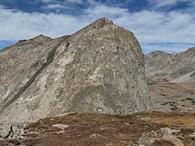 John Kirk 10-02-2024 |  John Kirk 05-14-2024 |  SarahT 08-29-2018 |
Submit another Image
Trip Reports:
Submit a Trip Report
2025-09-19 - Eli Boardman
Links: peakbagger.com
Ascents:
2 members have reported ascents...
log in to view ascents