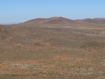
5438
NM
Elevation: 5,438' (LiDAR)
Rise: 283'
County: Doña Ana
Quad: Potrillo Peak
Line Parent: Cinder Cone Wilderness HP
Proximate Parent: Cinder Cone Wilderness HP
Isolation: 1.09 miles
Submit YDS Class Rating
Add ascent
Weather Forecast
Snow Depth
Images:
 John Kirk 11-30-2009 |  John Kirk 01-10-2016 |
Submit another Image
Trip Reports:
Submit a Trip Report
Ascents:
0 members have reported ascents...