North Fork Umatilla Wilderness HP
OR
Elevation: 5,180'
Rise: 0'
County: Umatilla
Quad: Andies Prairie
Line Parent: Ninemile Ridge
Proximate Parent: Ninemile Ridge
North Fork Umatilla Wilderness Highpoint
Isolation: 0.81 miles
Submit YDS Class Rating
Add ascent
Weather Forecast
Snow Depth
Images:
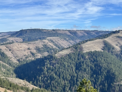 Paul Klenke 11-23-2025 |
Submit another Image
Trip Reports:
Submit a Trip Report
Links: peakbagger.com
Ascents:
4 members have reported ascents...
log in to view ascents