Tam Tam Ridge
WA
Elevation: 4,353'
Rise: 53'
County: Garfield
Quad: Peola
Line Parent: Misery Benchmark
Proximate Parent: Huckleberry Butte
Isolation: 7.78 miles
Submit YDS Class Rating
Add ascent
Weather Forecast
Snow Depth
Images:
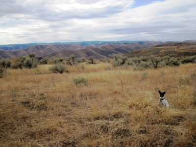 John Roper 10-12-2011 |
Submit another Image
Trip Reports:
Submit a Trip Report
Ascents:
0 members have reported ascents...