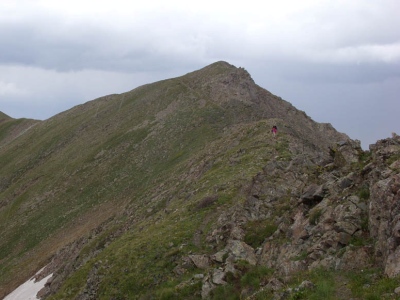
Simpson Peak
NM
Elevation: 12,977' (LiDAR)
Rise: 96'
County: Taos
Quad: Wheeler Peak
Line Parent: Wheeler Peak
Proximate Parent: Wheeler Peak
Isolation: 0.56 miles
YDS Class: 1+ Suggest Revision
Add ascent
Weather Forecast
Snow Depth
Images:
 BarryRaven 08-20-2008 |  Phil Robinson 07-18-2021 |  Phil Robinson 09-27-2012 | 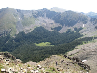 Phil Robinson 09-09-2008 |
Submit another Image
Trip Reports:
Submit a Trip Report
2026-07-03 - kirkmallory
2024-09-17 - whileyh
2024-07-20 - Phil Robinson
2021-07-16 - Phil Robinson
2020-08-03 - Bob Burd
2018-06-16 - Phil Robinson
2018-06-02 - John Kirk
2017-08-22 - Nuernberger Josef
2013-05-26 - John Kirk
2012-09-22 - Phil Robinson
2012-08-15 - drdickie
2007-09-15 - Phil Robinson
Links: peakbagger.com
Ascents:
82 members have reported ascents...
log in to view ascents