Pretty simple calcualtion, look at each 30m square in a quad(~212500 of them) and figure out which one has the most difference between its elevation and the elevation of its 8 adjascent squares. So using 30m squares and counting adjascents only, the drop radius is 60m. Geographic error range is for the point is 42m.
Going to a greater drop distance like 100m or 400m would seem like an improvement, but the results get wierd further out, for various reasons.
There is a 'cliff' variation which uses absolute value, as those locations tend to be sides of cliffs. Whereas the steepest point uses drop only - usually a cliff edge, small butttress, or summit.
Have run the SW and NW parts of the state(not error checked):
http://ned-files.com/sanjuans.html
http://ned-files.com/nw.html
More later....
Steepest Point on a Quad, Colorado
5 posts
• Page 1 of 1
Steepest Point on a Quad, Colorado
![]() by TWorth » Fri Nov 30, 2012 5:24 pm
by TWorth » Fri Nov 30, 2012 5:24 pm
- TWorth
- Posts: 215
- Joined: Wed Feb 01, 2006 4:27 pm
Re: Steepest Point on a Quad, Colorado
![]() by TWorth » Thu Dec 13, 2012 8:48 pm
by TWorth » Thu Dec 13, 2012 8:48 pm
- TWorth
- Posts: 215
- Joined: Wed Feb 01, 2006 4:27 pm
Re: Steepest Point on a Quad, Colorado
![]() by JoeGrim » Fri Dec 14, 2012 9:08 am
by JoeGrim » Fri Dec 14, 2012 9:08 am
Looking forward to seeing North Central. It would be neat for me to check out these steepest points in a quad, as they likely relate to some great views. By the way, you spelled "cliff" wrong on the page.
-

JoeGrim - Posts: 214
- Joined: Wed Feb 28, 2007 12:02 pm
- Location: Loveland, CO
Re: Steepest Point on a Quad, Colorado
![]() by TWorth » Sun Dec 16, 2012 8:16 pm
by TWorth » Sun Dec 16, 2012 8:16 pm
Thanks for the comments Joe, I had to come up with some new points for you to visit in Larimer County 
We were talking about this on the 11580 outing, looks like the steepest point along that ridge was east of that peak:
http://listsofjohn.com/PeakStats/QMap.p ... 5&z=17&t=u
all North Central quads(not fully error checked):
http://ned-files.com/north.html
We were talking about this on the 11580 outing, looks like the steepest point along that ridge was east of that peak:
http://listsofjohn.com/PeakStats/QMap.p ... 5&z=17&t=u
all North Central quads(not fully error checked):
http://ned-files.com/north.html
- TWorth
- Posts: 215
- Joined: Wed Feb 01, 2006 4:27 pm
Re: Steepest Point on a Quad, Colorado
![]() by JoeGrim » Sun Dec 16, 2012 8:46 pm
by JoeGrim » Sun Dec 16, 2012 8:46 pm
I've just spent quite a while looking at all the steepest points in our area. Definitely some great ones to check out to help me one day see the entire county.
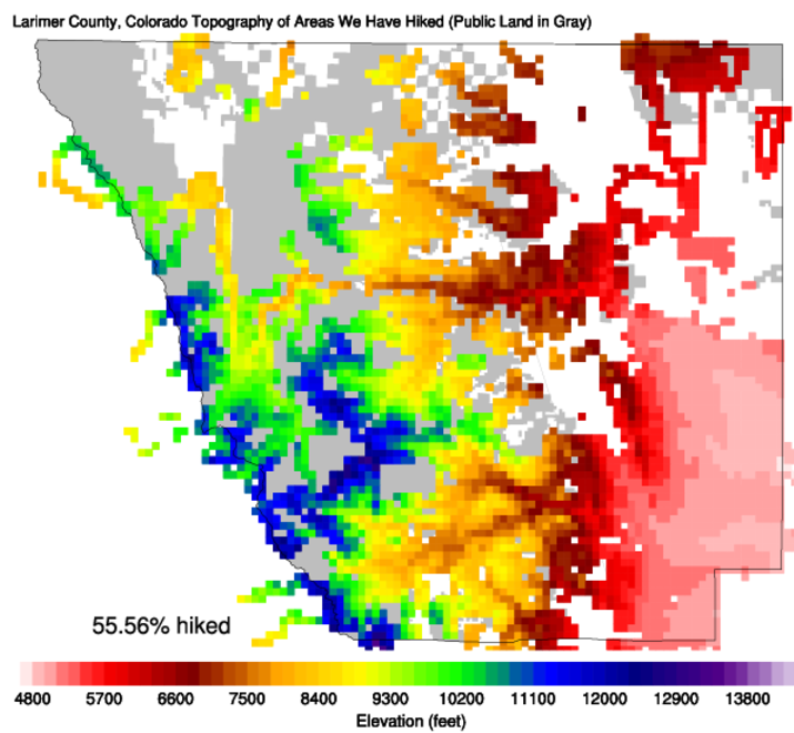
-
JoeGrim - Posts: 214
- Joined: Wed Feb 28, 2007 12:02 pm
- Location: Loveland, CO
5 posts
• Page 1 of 1
Who is online
Users browsing this forum: No registered users and 8 guests