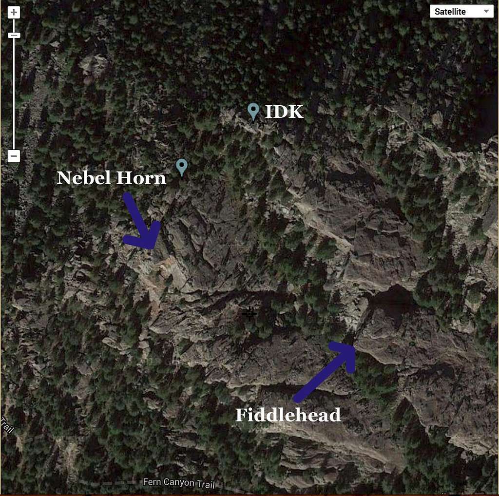
Looking through the Flatirons stuff, I noticed that the closed contour marked as the Fiddlehead looked a bit off. I pulled up the sat image and noticed that the marked summit is not the Fiddlehead, but rather a higher extension of the ridge. I believe it is called the "East Ridge", but I am not sure if it is in any guidebooks (not in Gerry's for sure) nor do I know what the easiest route would be rated. It could also simply be that the satellite image just doesn't line up quite right there but it seems unlikely looking at photos.
This one is taken from mountainproject...

Makes me wonder what summit people who have logged it reached. The Fiddlehead by name, or the actual contour location?
MountainProject's page on the East Ridge. There is discussion about the name in the comments.
