Gabes Peak
ID
Elevation: 7,655'
Rise: 148'
County: Gem
Quad: Tripod Peak
Line Parent: Granite Peak
Proximate Parent: Granite Peak
Isolation: 1.15 miles
YDS Class: 2 Suggest Revision
Add ascent
Weather Forecast
Snow Depth
Images:
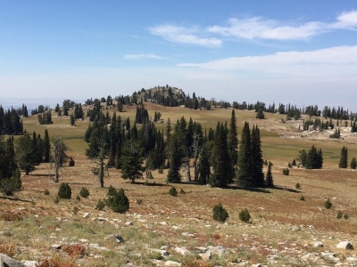 Tom Lopez 09-08-2016 |
Submit another Image
Trip Reports:
Submit a Trip Report
2016-09-01 - Tom Lopez
Links: peakbagger.com
Ascents:
7 members have reported ascents...
log in to view ascents